- Home
- Corporate
- Projects
- Overview
- Why Ecuador
- Ecuador
- Ireland
- Exploration Alliance
- Equity Holdings
- Investors
- News
Ecuador
Chalapo
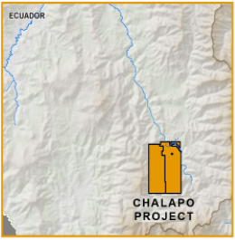
- 8,087 hectare concession package (two contiguous claims Chalapo and Chalapo 1)
- An early stage, undrilled epithermal gold-silver prospect
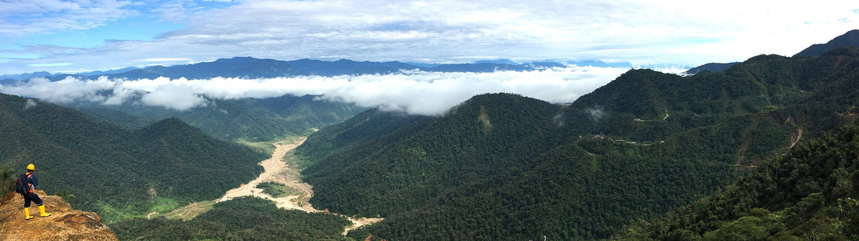
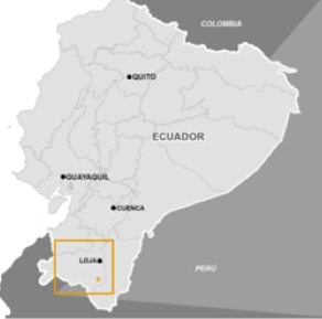
- Located in southern Ecuador, 45km SW of the regional capital Loja
- Mapping and sampling to delineate drill targets is planned for later this year
The concession includes Chalapo (4,242ha) and Chalapo 1 (3,845ha) and is part of the Oligocene-Miocene porphyry/epithermal belt that hosts significant mines with similar geology further south in Peru, such as Lagunas Norte, Pierina and Sipan.
Rock chip sampling by Codelco has identified a zone of anomalous gold with pathfinder elements typical of a high sulphidation gold system. Luminex rock chip sampling during due diligence retuned gold values up to 1.78 g/t (see Figure 2) from a hydrothermal breccia with intense vuggy silica/alunite alteration, indicative of intense hydrothermal acid sulphate leaching.
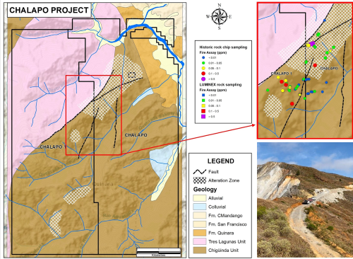
Figure 2 For more details see NR:22-7, Apr 18-2022
Qualified Person
Leo Hathaway, P.Geo, a “qualified person” within the definition of that term in NI 43-101, has reviewed and approved the scientific and technical information contained on this page.
Projects
- Ireland
- Projects